Polaciones
 Download the cheat sheet and go!
|
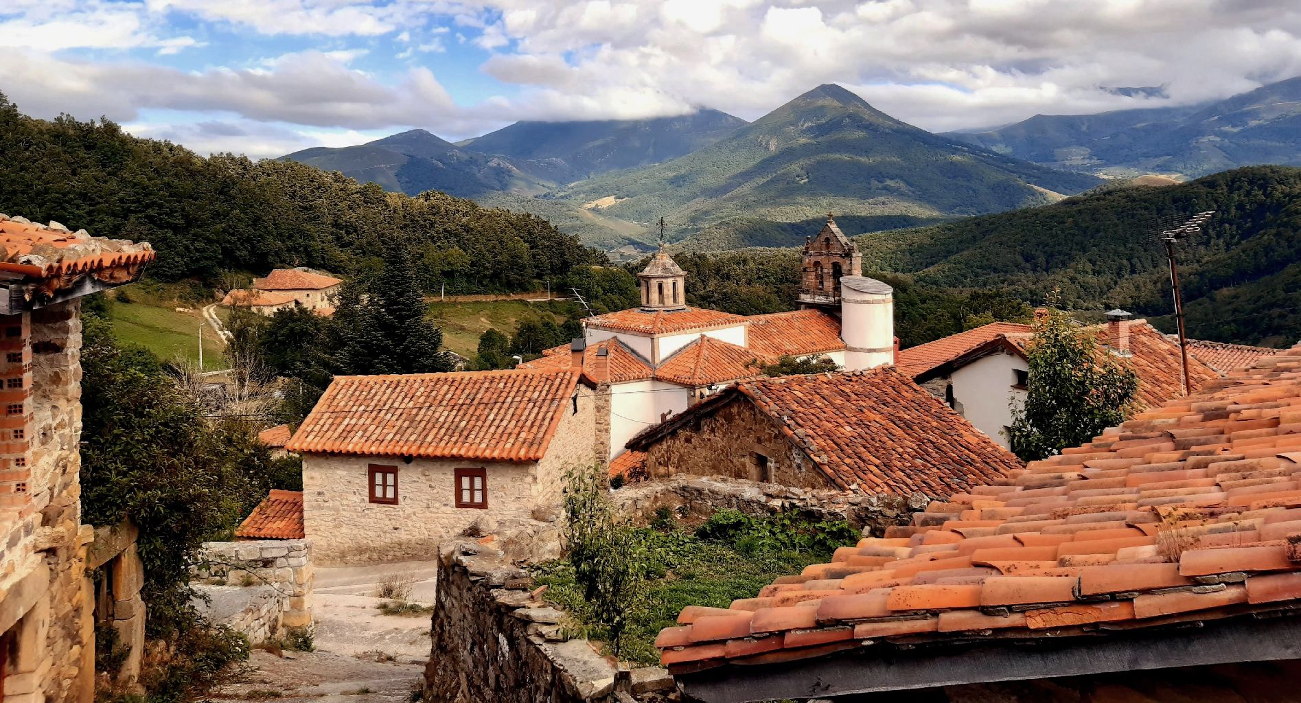
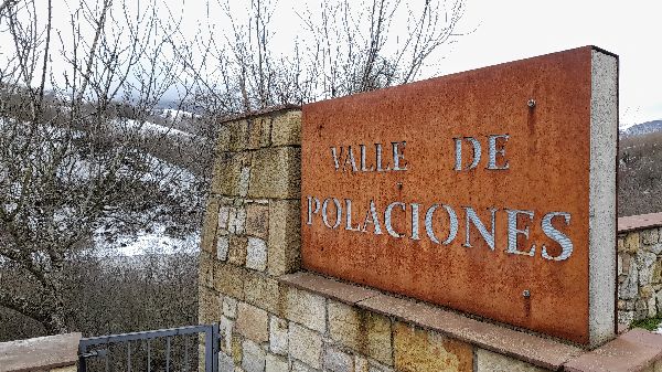
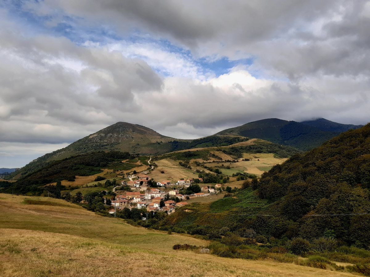
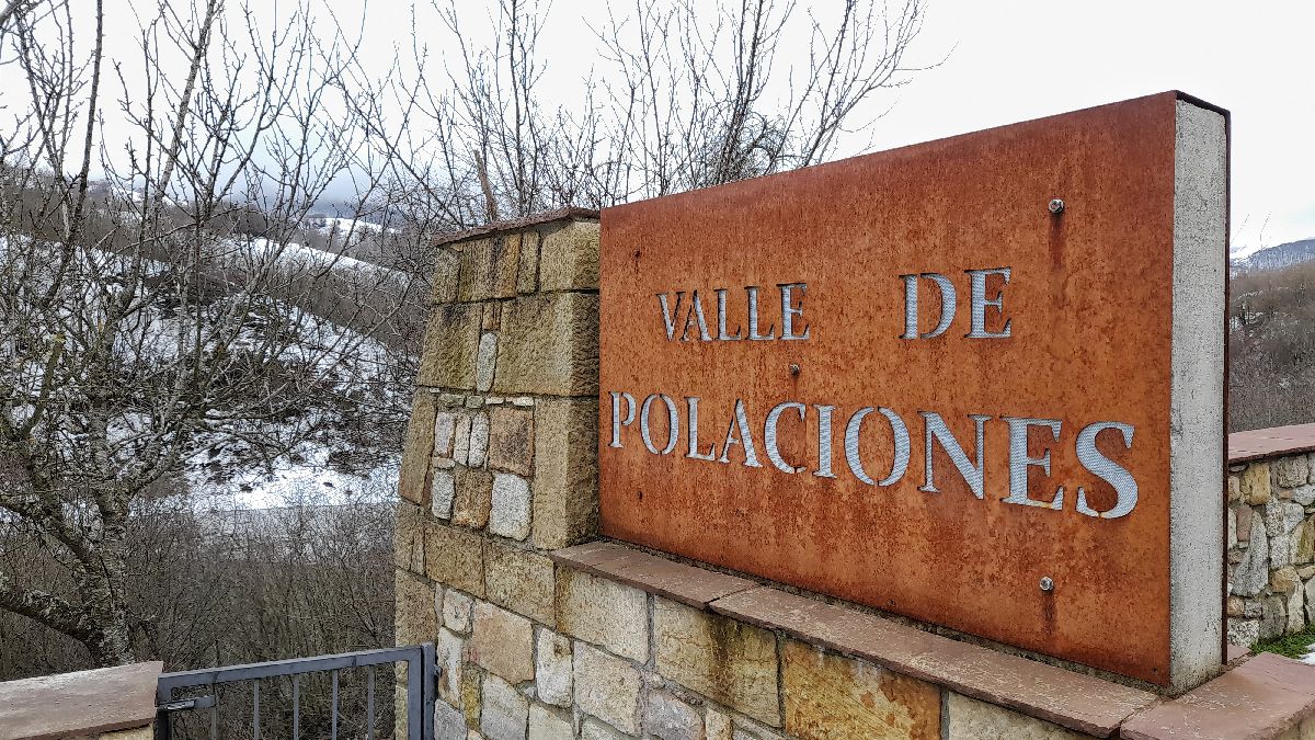
The municipality of Polaciones is a place that many people still have yet to discover. It’s accessed through the winding Estrecho de Peña Bejo, also known as Caos de Bejo. At the top of this area, a valley protected by the Peña Sagra and El Cordel mountain ranges opens up; and the Nansa River passes through the middle of the valley as if it were its backbone. When its course reaches the Estrecho de Peña Bejo, it’s dammed at the La Cohilla reservoir, one of the greatest engineering feats of the 20th cenutry. The villages that make up Polaciones are: Belmonte, Callecedo, Cotillos, La Laguna, Lombraña, Pejanda, Puente Pumar, Salceda, San Mamés, Santa Eulalia, Tresabuela and Uznayo. What does Polaciones have to offer? It has beautiful landscapes every season of the year, in which you can enjoy peaks over 2000 meters tall like the Cuernón or a forest of beech trees like the one in Tresabuela. You can explore this great natural area of high ecological value on foot, bicycle or even snowshoes. You’ll be able to live and experience long-preserved customs like listening to the rabel, the Zamarrones carnival or the the intricate way they worked with wool. And as a final experience, savor its excellent cuisine. However, to see the oldest remains in the area, you need to go up to the dividing line between Polaciones and The Campoo – Cabuérniga Commonwealth. This is where the Sejos – Cuquillo megalithic area is located, one of the most important must-see places in Cantabria which we’ll tell you more about later. Polaciones was a link between the Cantabrian coast and the Castilian meseta. In the 16th century, Hernando Columbus, son of Christopher Columbus, described the trail that connected San Vicente de la Barquera with Medina de Rioseco and Toledo in his book Cosmography. At the Piedrasluengas mountain pass, the goods that came from San Vicente like salted fish, linen and other fabrics, ran into the pilgrims coming from Santo Toribio de Liébana and who were continuing their pilgrimage to Santiago de Compostela via the French Route. In the north of Palencia, part of this route is known as the Camino Real de la Valdivia. There was a wave of emigration to America in the 17th and 18th centuries. Some people returned with large sums of money which they used to build grand homes in their native villages. That’s one of the main reasons there are so many baroque houses in these villages, like the grand Lombraña House, the Viceroy’s House in San Mamés or the Colonels’ Houses in Puente Pumar. Now, we’ll reveal more details about the ESSENTIAL places you need to EXPLORE, and interesting facts that will make your visit more fun.
Going through the Piedrasluengas mountain pass, on the CA – 281 road, is the Cruz de Cabezuela lookout point. From here you can see the Picos de Europa (Peaks of Europe), the San Glorio mountain pass, and mountain peaks like the Bistruey and Peña Labra to the left, which is shaped like a chimney. The sights here are absolutely breathtaking. In this same place you can find The Meeting of the Purriego and the Lebaniego monument. Both names are the demonyms of the inhabitants of Polaciones—Purriegos—and Liébana—Lebaniegos. The lookout is the meeting point between the two valleys and symbolizes the close relationship between their people. If you go visit it, we recommend you pay extra attention to their clothing, the umbrella on the back, and the ‘albarcas,’ which are wooden clogs that are typical in the north of Spain.
At the border of Polaciones and The Campoo – Cabuérniga Commonwealth is the Sejos – Cuquillo megalithic area, which is one of the most important in Cantabria. For about 2.5 kilometers, there are large menhirs, mounds, landmarks and circular structures with slabs of rocks. One of the most unique groups of these being 5 menhirs on which there are engravings. Nearby are the Hitón and Cuquillo standing stones, whose positioning suggests their purpose was to set territorial limits. It was declared a Cultural Interest Asset under the Archaeological Area sub-category.
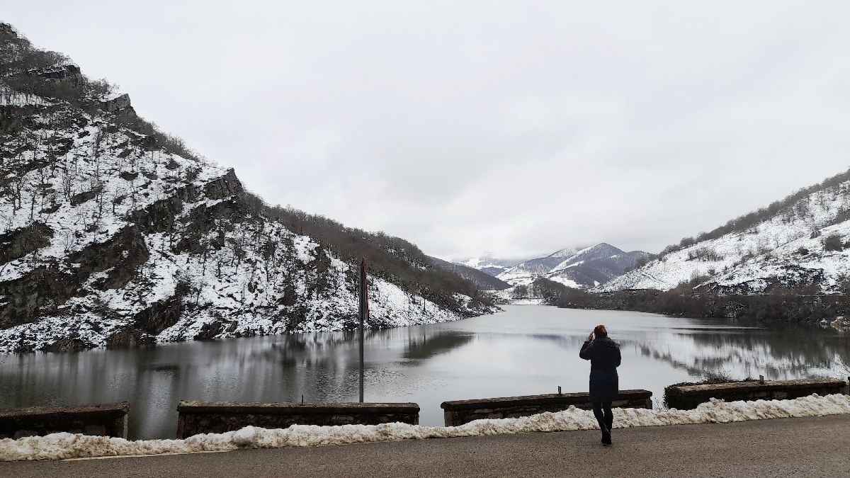
The Nansa River is one of the most used rivers by man in Cantabria. Its waters have been used to make mills and iron foundries run. However it’s during the postwar period that it’s course is most modified due to the construction of dams, artificial canals and mini-power plants. Construction of the La Cohilla Reservoir began in 1943. The challenge was building the highest vault in Spain, with a height of 116 meters and 282 meters across at the crown. The dam was filled for the first time in 1951.
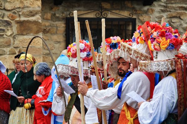
Los Zamarrones is a very old tradition with Pagan origins that represents fertility, the expulsion of evil spirits and the preparation for the arrival of a new season. The main characters are the black and white ‘zamarrones.’ On their journey around the villages of Polaciones, the white zamarrones jump with a hazel rod to grab everyone’s attention. Tied to the end of the rod, is a piece of cloth or a sack called a “zamárgano,” which is wet with water or mud to splash the single women with. This tradition is called “Sabaneo.” Then, while accompanied by a troupe reciting in verse, the zamarrones dramatize and event that occurred in the valley. The clothing of the white zamarrón is very striking: a shirt and white pants, black or brown leg warmers, a Manila shawl tied at the waist, a tie, silk sashes, and the most spectacular, the hat. It’s made of straw but lined with white cloth and decorated with flowers, silk ribbons, and jewels. However, the black zamarrón is dressed in tattered and sooty clothes.
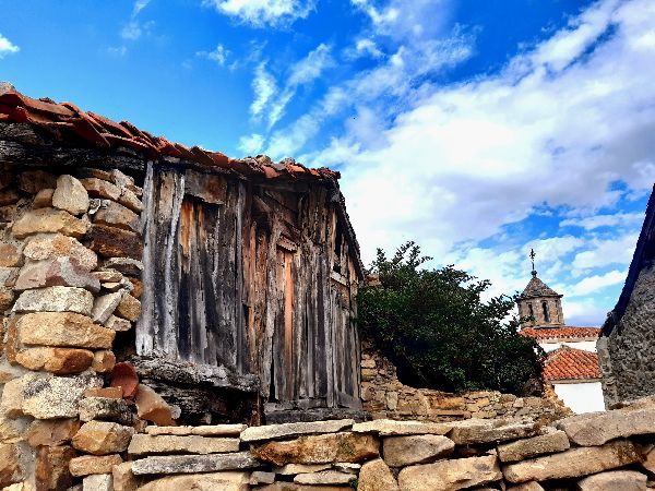
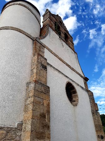
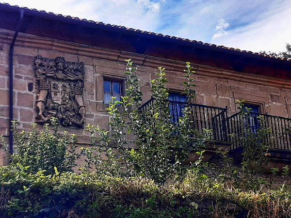
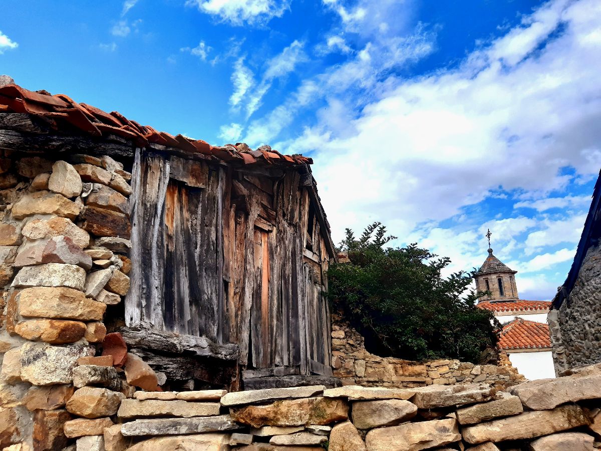
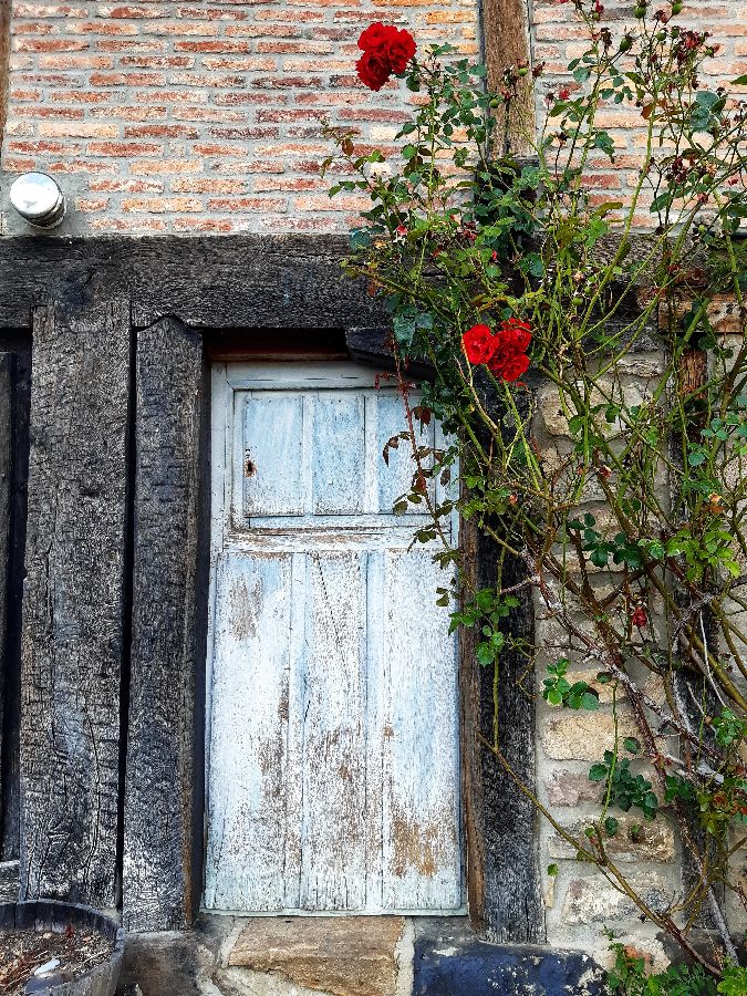
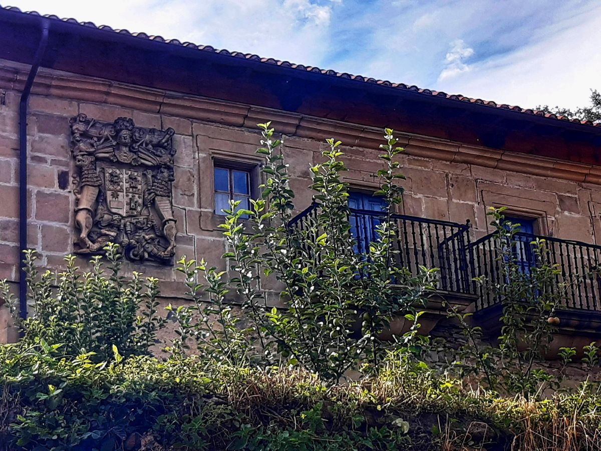
In the 17th and 18th centuries, a number of people emigrated to America in search of wealth. A few achieved their goal and returned to their native villages with money. That’s the main reason why if you go around the villages in the area, you’ll see religious buildings and huge houses, the majority of which were built in the 18th century. Next we’ll suggest some buildings of interest:
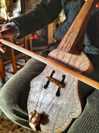
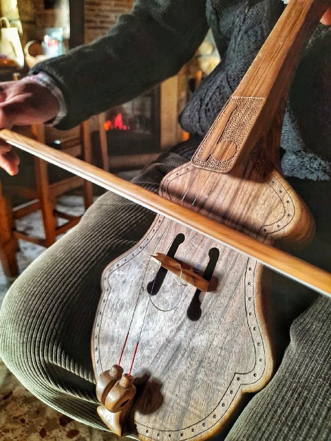
The rabel, or the bandurria as it’s called in Polaciones, is an instrument with a rich cultural history. In the 1980s it almost disappeared, but thanks to people in Campoo and Polaciones who still knew how to play it, the tradition was revived. The bandurria was an instrument that was played in kitchens when everyone gathered in the Hilas or Jilas (meetings among neighbors to make yarn from wool), especially during the cold winters. If you want to listen to this instrument accompanied by ballads, you should come to two festivals: El Encuentru, which takes place on the Saturday closest to St. John’s day, and the Rabel Competition in Pejanda, on the last Saturday in August.
Polaciones is perfect if you love hiking. There are old roads, menhirs and montains like Peña Sagra just waiting to be explored, provided that you’re in good physical shape. Next, we’ll tell you about a few of them:
This trail is part of the route that connected the coast with the Castilian meseta. There are several alternatives depending on the place you choose to start from. We recommend connecting the municipalities of Polaciones and Tudanca by starting in Pejanda and finishing in Tudanca, or viceversa. It’s a linear route and given its length and incline, we recommend taking two cars and leaving one at each point. From Pejanda, follow the road to Callecedo, where you take the path that goes to the left towards Peña Sagra. You’ll climb uphill for 6 kilometers until you reach El Potro lookout point where your mouth will probably drop once you see the amazing panoramic views of La Cohilla Reservoir, Tudanca and mountains like La Concilla, Peña Labra and Tres Mares Peak. The trail then goes downhill to a junction called Collado de Abeyán (it’s also known as “Joza Abellán” or “Jozalabellán”). It forks into two paths that lead to San Sebastián de Garabadal and La Lastra. To continue the trail, take the path to La Lastra and from there, Tudanca. Technical information and recommendations: ► Starts and ends: Pejanda - Tudanca Notes: 1. We recommend downloading the track of the route on your phone and check the weather forecast beforehand.
The Sejos – Cuquillo megalithic area is a group of menhirs, mounds and circular structures with slabs of rocks from the Neolithic period. It’s located on the border of Polaciones and The Campoo – Cabuérniga Commonwealth. We suggest setting off from Puente Pumar if you plan to visit. At the exit towards Uznayo, you’ll see a path on the left next to a barn. The path goes uphill until you reach a fence that separates the Saja and Nansa valleys. You’ll notice a diagonal boulder. It’s the menhir known as Jincá Rock or “El Hitón.” Up ahead, enclosed within a shabby wooden fence are the Sejos Menhirs. They are a group of 5 stone slabs—two of them engraved with signs—almost 3 meters long which could have been part of a cromlech monument. To return, go back to Jincá Rock and go back around the side of La Concilla, the cone-shaped mountain that’s on the right. The route will take you to Los Escajos meadow and from there to the peat-filled Avellanosa hill, which is a surprisingly black landscape. It’s a fairly visible trail that will take you back to Puente Pumar. During rutting season, it’s fairly easy to listen to the deer challenging each other. **If you want to go up to Sejos taking an easier route, you can set off from Uznayo. Technical information and recommendations: ► Starts and ends: Puente Pumar Notes: 1. We recommend downloading the track of the route on your phone and check the weather forecast beforehand. |


 SEJOS – CUQUILLO MEGALITHIC AREA
 You can reach it on foot from either Uznayo or Puente Pumar. The route is shorter from Uznayo, but from Puente Pumar, the return is amazing because you pass through the peat-filled area of La Avellanosa hill, where you can see a predominantly black landscape due to the peat.
 Vehicle access is restricted to only those with council permission.
 THE CARNIVAL OF LOS ZAMARRONES
 THE VILLAGES: 18th CENTURY ARCHITECTURE
 THE RABEL OR THE BANDURRIA

