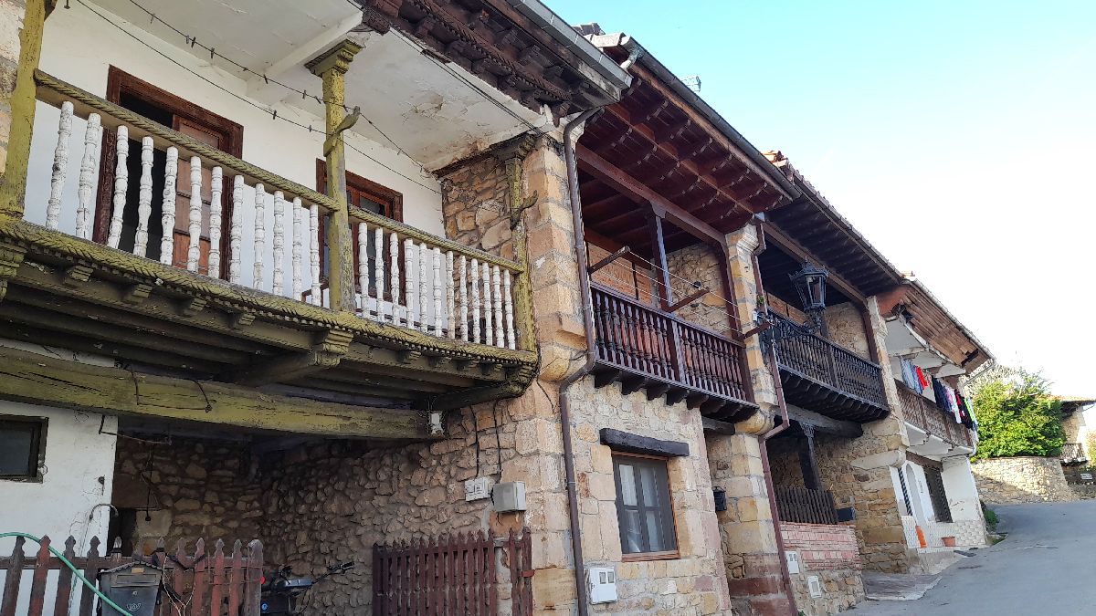
Udías
 Download the cheat sheet and go
|
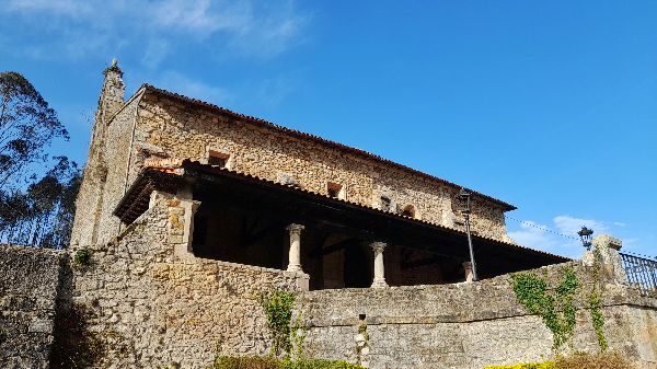
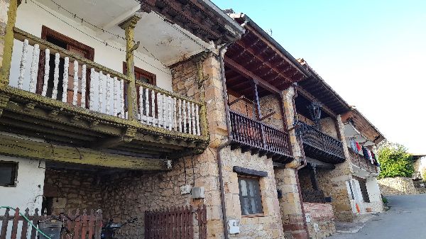
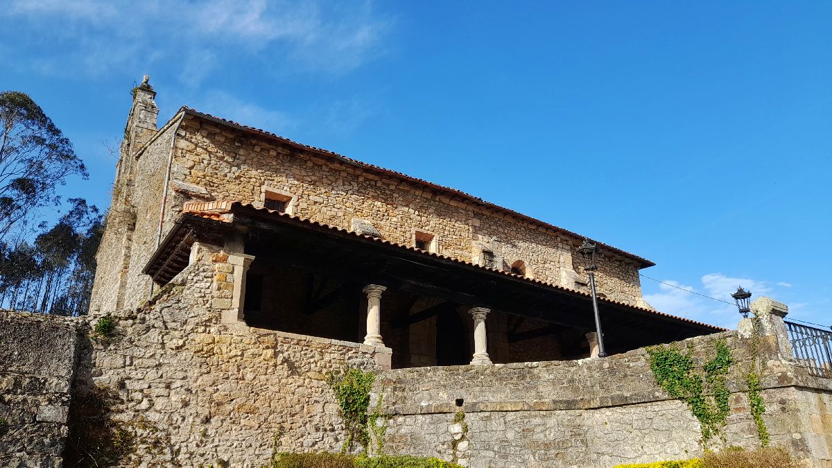
Udías is one of the municipalities in the Saja Nansa region with the smallest territories, but the ocean and mountain views are incredible. Canales, Cobijón, El Llano, Pumalverde, Rodezas, Toporias, Valoria and La Virgen are the villages that make up its territory. Due to its rich subsoil, mining has been an ever present activity in the area for over 2,000 years. Two minerals were mainly extracted from the mines: zinc and lead. Infrastructures and buildings of the mining complex still remain from the last period of exploitation which took place between the mid 19th and 20th centuries. Udías has great environmental importance, as well, since part of its territory is within Monte Corona, which is in itself integrated in Oyambre Natural Park. This area is ideal for walking or cycling and enjoying some amazing views. Next we’ll reveal more of its ESSENTIAL information and fun facts so you can get to know the municipality a little better.
As we mentioned earlier, Udías’s subsoil is rich in minerals. Remains of its exploitation have been found that date back to the Roman times, despite the fact that its mining activity started in the mid 19th century, There were two periods of mining: the first from 1855 to 1932. They were later reopened in 1955 and closed definitively in 1965. Lead and zinc were the main minerals. Zinc came in two forms: as carbonates or calamines and as sulfides or spahlerites. Exploitation of the mines was spread out over different parts of the municipality. Depending on the height at which the mineral was found, different extraction techniques were used—or mining, which is what the art of extracting minerals is called. They could be open-air or underground mines, in which case, shafts and galleries were used. We’ve pointed out on the map the different remains that have been preserved so you can identify them. In Canales you can still see part of the San Bartolomé Mine and the deposit called El Zafarrancho. In the area known as La Casas de la Mina in La Gándara, you can see remains of the rotary kilns, sinks, the small hospital and the train track. The buildings most well-preserved were the offices, the shop-bar, the garages and the engineer’s residence.
Located in La Hayuela is the entrance to Oyambre Natural Park. The park has a coastal area, grasslands, and a wooded area. This collection of mountains is called the Corona group and it is just over 1,230 hectares (about 1,230 football fields). Located within this group is Monte Corona. Here, there are native species of trees like oaks, beeches and hazels mixed with foreign species like pines, eucalyptuses and sequoias. Among its fauna we can find mammals like roe deer, wild boars and pine martens, birds like kites, amphibians like newts and reptiles like lizards. It’s the perfect place to go hiking or bike riding.
Cantabria is characterized by being formed mostly of limestone. When this type of stone makes contact with water—whether it be from a river or rain—it starts to erode. In the case of Udías, the Suvia River has shaped the subsoil and created caves like El Rescaño or La Buenita. The result of this erosion process is called a karst landscape. At the same time, there’s another process that “decorates” these caves: the water that filters in from the surface into the cavities, leaves behind a calcite residue that forms the stalactites, stalagmites, flowstones, etc. That’s how Udías became a place to practice speleology. Of course, in order for it to be a safe activity, it should be done with professionals who know the environment.
Within Monte Corona there’s an area that deserves it is own section: the Paraje de los Pintores Montañeses or better known as the Las Argayás lookout point. The terms “argayo” and “argayás” (argayadas—landslides) are used to describe places with land movement generally caused by water. The name comes from the fact that in front of the lookout, there’s a valley where these landslides occur. When go to the edge, you feel like you’re on a BALCONY overlooking everything from the Cantabrian Sea to the Picos de Europa (Peaks of Europe).
Next we’ll give you a few more ideas so you can keep exploring Udías:
In the earlier sections we talked about the close link between Udías and mining. On this trail, we propose you walk part of the same route as the mining train that extracted minerals from pozo de Peña Montero to La Gándara. It’s simple, with hardly any incline and a component that attracts people of all ages: two tunnels that you need to pass through with a flashlight or a headlamp. The journey starts near Cobijón, in the place known as Las Casas de la Mina or La Gándara. The buildings around here correspond to the mining activity: offices, garages, remains of rotary kilns, hospital and the engineer’s house. We’ll show you each one of those points on the map and an old photo in which you can really notice how much time has passed. At the start of the trail there’s a sign indicating the route you’ll take, but it’s very simple because your main guide will be the train track. The track is linear and it will lead you to Pozo Peña Montero; and you take the same way back to return. The trail ends at a winding tower called Pozo del Madroño or Pozo Peña Montero. You’ll notice on the front of the tower there’s a logo that says “RCA”. It stands for Real Compañía Asturiana (Royal Asturian Company), the company that built the area of Las Casas de la Mina in the 20th century. Technical information and recommendations: ► Starts and ends: Casas de la Mina. La Gándara Notes: 1. Wear good hiking shoes and take a torch.
A project called Bosques de Cine (Cinematic Forests) has recently been launched. Its purpose is to compensate for the carbon footprint the film industry generates. It will consist of plantations of native tree species on the stretch of land that connects the municipalities of Alfoz de Lloredo, Comillas, Ruiloba and Udías. BOSQUE (FOREST) is a word that is repeated in the titles of films like: El bosque animado (The Enchanted Forest), El corazón del bosque (The Heart of the Forest) or El bosque del lobo (The Ancines Woods). This symbolic gesture is meant to raise awareness about climate change. In the following link you can see how the project is coming along: Bosques de Cine (Cinematic Forests) |

 MINES OF UDÍAS
 MONTE CORONA
 Your collaboration is very important here. Help us take care of this significant natural environment. What can you do?
 SPELEOLOGY
 PARAJE DE LOS PINTORES MONTAÑESES (THE SPOT OF THE MONTAÑÉS PAINTERS)
